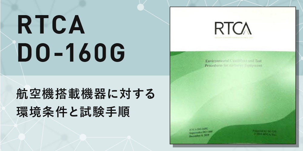
RTCA規格 DO-229 Revision F, 2020
※当ウェブ・ショップに掲載のない規格につきましては、別途お問合せ下さいませ。
※掲載の規格は、当ウェブ・ショップに掲載時点で確認できた最新版でございます。 最新の発行状況につきましては受注時に改めて確認をさせて頂きますので予めご了承下さい。
Description
Introduction
This document contains Minimum Operational Performance Standards (MOPS) for airborne navigation equipment (2D and 3D) using the Global Positioning System (GPS) augmented by Satellite-Based Augmentation Systems (SBAS); which, in the U.S. is the Wide Area Augmentation System (WAAS). DO-229 only provides standards for single frequency airborne navigation equipment. A separate document will be created in the future to address standards for dual frequency equipment. These standards are intended to be applicable to other SBAS providers, such as European Geostationary Navigation Overlay Service (EGNOS), Japan’s Multi-functional Transport Satellite (MTSAT) Satellite-based Augmentation System (MSAS) and India's GPS Aided Geo Augmented Navigation System (GAGAN).
This new version of the Minimum Operational Performance Standards for Global Positioning System/Satellite-Based Augmentation System Airborne Equipment systems has been produced to introduce requirements tags. This will facilitate the comparison of these single frequency, GPS only requirements with the future dual frequency, multi-constellation requirements. On very few, specific cases, editorial clarifications of a requirement have been introduced. This version of the document is technically equivalent to RTCA DO-229E.
In this document, the term “shall” is used to indicate requirements. An approved design should comply with every requirement, which can be assured by inspection, test, analysis, or demonstration. The term “must” is used to identify items that are important but are either duplicated somewhere else in the document as a “shall”, or are considered to be outside the scope of this document. The term “should” is used to denote a recommendation that would improve the SBAS equipment, but does not constitute a requirement.
The standards define minimum performance, functions and features for SBAS-based sensors that provide position information to a multi-sensor system or separate navigation system. They also address SBAS-based Area Navigation (RNAV) equipment to be used for the en route, terminal, and Lateral Navigation (LNAV) phases of flight. These standards are based upon a nominal allocation of the aircraft-level requirements in RTCA/DO-236(latest revision), Minimum Aviation System Performance Standards: Required Navigation Performance for Area Navigation, accounting for the unique issues associated with SBAS and Global Navigation Satellite System (GNSS) navigation service and minimizing the need for pilot training. These standards also define performance, functions and features for equipment that satisfies the requirements for Lateral Navigation/Vertical Navigation (LNAV/VNAV), Localizer Performance without vertical guidance (LP), and Localizer Performance with Vertical guidance (LPV) instrument procedures. The standards cover SBAS-based equipment that is designed to serve combinations of the above phases of flight.
Compliance with these standards by manufacturers, installers and users is recommended as one means of assuring that the equipment will satisfactorily perform its intended functions under conditions encountered in routine aeronautical operations, and will ensure a basic compatibility with the requirements defined in RTCA/DO-236(latest revision). Manufacturers and operators who elect to comply directly with the requirements of RTCA/DO-236(latest revision) as part of an aircraft certification (type certificate or supplemental type certificate) may bypass these RNAV standards, but are not expected to be eligible for a Class Gamma Technical Standard Order (TSO) authorization.
The regulatory application of these standards is the responsibility of appropriate government agencies. In the United States, the Federal Aviation Administration (FAA) has published a Technical Standard Order (TSO) for GPS/WAAS equipment to reference the requirements and bench test procedures in Section 2.
The word “equipment”, as used in this document, includes all components or units necessary (as determined by the equipment manufacturer or installer) to properly perform its intended function. For example, the airborne “equipment” may include: sensor(s), a computer unit, an input-output unit that interfaces with existing aircraft displays/systems, a control unit, a display, shock mount(s), etc. In the case of this example, all of the foregoing components or units constitute the “equipment”. It should not be inferred from this example, however, that all GPS/SBAS navigation equipment will necessarily include all of the foregoing components or units. The particular components of GPS/SBAS equipment will depend upon the design used by the equipment manufacturer, subject to the constraint that the equipment must meet the applicable requirements of this MOPS.
Section 1 of this document provides information and assumptions needed to understand the rationale for equipment characteristics and requirements stated in the remaining sections. It describes typical equipment applications and operational goals and forms the basis for the standards stated in Sections 2.
Section 2 contains the performance requirements. When measured values of equipment performance could be a function of the measurement method, this section also defines standard test conditions as well as testing methods. Section 2 contains the minimum performance standards for the equipment. These standards define required performance under standard operating conditions and stressed physical environmental conditions. It also details the recommended test procedures necessary to demonstrate compliance.
Section 3 provides references to guidance material for installed equipment performance.
Section 4 provides references to guidance material describing SBAS equipment operational characteristics.
Appendices A through D are normative. Specifically, Appendix A contains the SBAS signal specification, Appendix B contains GPS assumptions, Appendix C describes the standard interference environment, and Appendix D defines the database record for approaches that require a Final Approach Segment (FAS) data block.
Appendix E includes a description of the baseline weighted least squares algorithm. It also includes an example means of implementing the navigation system error algorithm.
Appendix F and G describe additional SBAS capabilities that are not required by the MOPS. Appendix F describes capabilities that may be considered for ADS-B. Appendix G describes the requirements and test procedures for baro-aided FDE capability that is optional under this MOPS.
Appendix H describes a recommended output standard for implementing functions required by this MOPS. But, the GPS/SBAS equipment is not required to use this method.
Appendix I provides a typical mode switching processing flow diagram from the terminal area to the approach. The intent of appendix I is to aid in understanding the mode transition requirements.
Appendix J describes required methods of calculating SBAS-based protection levels, based upon the data in the SBAS message.
Appendix K provides a list of references concerning the fault detection and exclusion (FDE) algorithm that can be used during the en route, terminal area, and approach phases of flight as a reversionary mode for providing integrity.
Appendix L describes an example method for making WGS-84 computations.
Appendices M through Q are informative. Appendix M contains background material for bench tests. Appendix N provides guidance for determining Mean Sea Level height from WGS-84 coordinates and a reference to obtain the 1996 Earth Gravitational Model (EGM 96). Appendix O is a glossary and Appendix P provides flowcharts for the Ionospheric Grid Point (IGP) selection process. Appendix Q contains SBAS considerations for helicopters.
Appendix R contains requirements and test procedures for tightly integrated GPS/inertial systems when fault-detection and exclusion is used to provide integrity. Any equipment that uses integrated GPS/inertial must meet the requirements and accomplish the test procedures of this appendix.
Appendix S contains DO-229E process flow diagrams intended to be an example of the computation and logic flow that meets MOPS requirements for the possible operational modes. It is not intended to show all allowable implementations. Instead, a representative implementation is shown with references to the applicable MOPS requirements.
Appendix T contains a description of the tool to determine Geostationary Satellite (GEO) bias error in receiver correlator designs. This tool can be used to demonstrate receivers meet the GEO bias requirement in this MOPS. Copies of the actual tool can be obtained through the RTCA Inc. online store at www.rtca.org and downloading the file: DO-229E GEO Bias Tool.
Appendix U provides guidance for interfacing equipment conforming to this MOPS with ADS-B equipment. All classes of equipment compliant with this MOPS are expected to satisfy the requirements for initial U.S. ADS-B applications.
Note: All equations in the appendices are labeled sequentially using the appendix letter identifier (e.g., [A-1], [A-2], etc.) so that the equations may be referenced.


